Infrastructure + Analytics | Water Resources

City of Effingham GIS Support
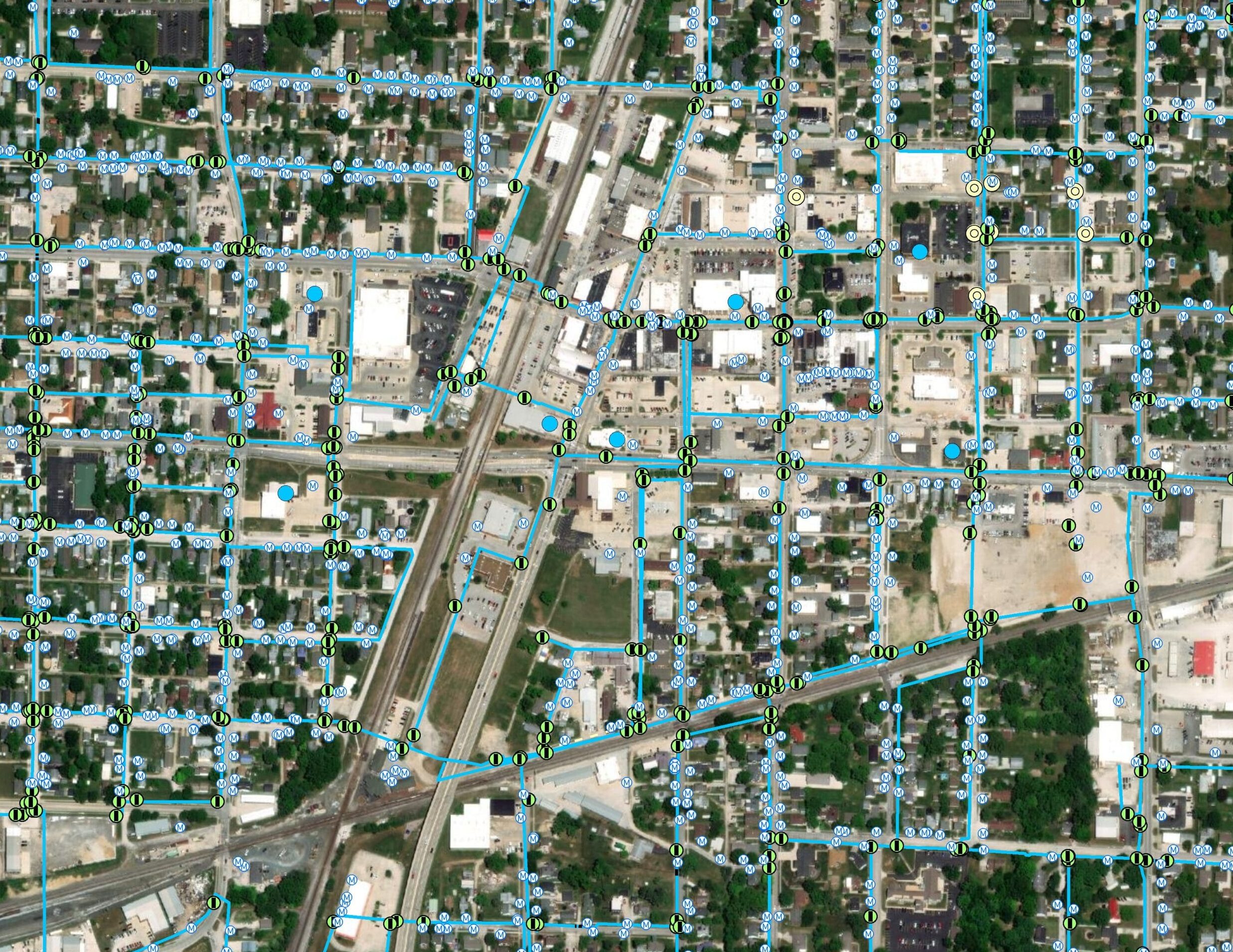
The City of Effingham (City) requested services from CDI for GIS consulting, database management, and mapping to support the management of their Public Works Department and associated infrastructure. Added services included preparing GIS data and report deliverables to help facilitate City goals.
During the initial project phase, CDI assessed existing GIS infrastructure and developed a specific GIS database based on the City’s needs. Phase one also included creating a web portal and web mapping applications for City staff and public use. For subsequent phases, CDI expanded and validated each utility GIS network by digitizing historical maps, attributing features from as-built plans, and incorporating field data. Additional services included updating zoning mapping, GIS training for City staff, in addition to conflating and mapping the City’s cemetery for online public viewing. Project deliverables include the GIS database, online GIS mapping portals, and annual utility GIS data updates.
Client: City of Effingham
Owner: City of Effingham
Location: Effingham, IL


